GIS hexagon grid can be created using QGIS. In this case I’m using QGIS version 2.18.15.
First of all, you must have a boundary layer. I’m using Selangor parliamentary boundary.

Steps to Create Hexagon Grid
1) Enable the Processing Toolbox
View -> Panel -> Toolbox

2) From the Processing Toolbox, select Create Grid

3) After setting the configuration as follows, click run:
- Grid type: Hexagon
- Grid extent: Select canvas and choose Selangor boundary or your boundary layer.
-

QGIS Use Extent Selangor Parliamentary - Horizontal / Vertical spacing: 0.025 (means 0.025km)
- Grid CRS: EPSG 4326 (or popularly known as WGS 84 where Google Map use this CRS)


4) After click Run, a hexagon grid layer will appear as follows:

5) Select Vector -> Research Tools -> Select by Location

6) Input the Configuratoin for Select by Location as follows, then click Run:
- Layer to select: Your Hexagon Grid Layer
- Additional layer (intersection layer): Your boundary layer in my case Selangor parliamentary
- Geometric predicate: choose intersects, contains, touches, overlaps

7)Then click Select Features using an expression -> Invert Feature Selection

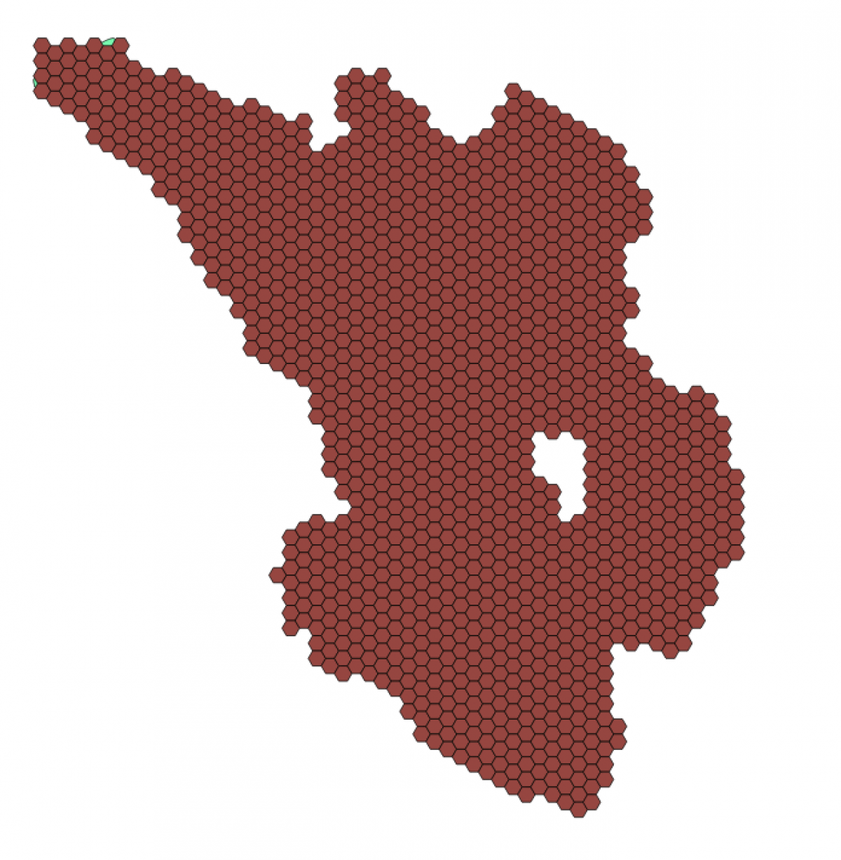
8)After inversion, your hexagon grid would look like below:

9) Click Toggle Editing (pencil icon) then Delete (trash icon)

10) Final output would look like this
